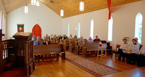
How To Find Us
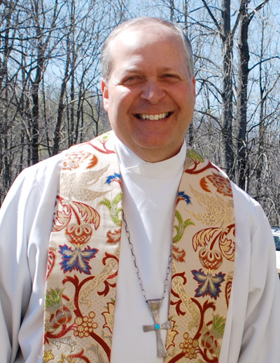
Reverend John H. Heck
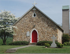
Saint Peter’s-in-the-Mountains
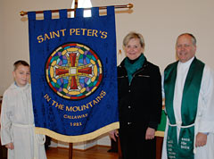
Dedication of the Church Banner
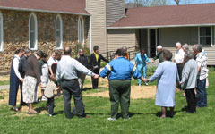
Circle of Friends
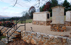
Columbarium and Memorial Garden

Directions to Saint Peter’s Episcopal Church (All mileage is approximate)
Open directions in printable PDF format • Print a map.
From Roanoke
- Take Route 220 to Boones Mill.
- Turn right onto Route 739 (at the traffic light by the Shell Station), Bethlehem Road (becomes Route 643).
- Travel approximately 7.8 miles until dead end at Retreat.
- Turn right onto Route 641, Callaway Road.
- Travel approximately 4.2 miles to Callaway.
- Turn left onto Route 602, Ferrum Mountain Road.
- Travel 1.9 miles.
- Take a sharp right onto Route 748, Five Mile Mountain Road.
- Travel 2.6 miles to the bottom of a slight hill.
- Turn left onto Route 640, Turners Creek Road.
- Phoebe Needles is 0.8 miles on the right.
- Turn left on Route 640, Rock Ridge Road. Saint Peter’s Church is on the left.
From Rocky Mount
- If traveling from Roanoke, take Route 220 South to Rocky Mount.
- Exit at Route 220 Business, Main Street, and follow into town 1.8 miles.
- Turn right at the traffic light onto Route 40 West, Franklin Street, and follow through town 2.4 miles.
- Turn right at 40 West Food Fare onto Route 640, Six Mile Post Road.
- Travel 7.1 miles until this road dead ends.
- Turn right onto Route 602, Ferrum Mountain Road.
- Travel 0.6 miles to a “Y” in the road.
- Stay left – the road becomes Route 640, Rock Ridge Road, at this point.
- Travel 3 miles – the Church is on the right just before you will dead end into Phoebe Needles.
From I-81 (Christiansburg and Blacksburg)
- Take the exit for Route 8 to Floyd.
- In Floyd, turn left at the traffic light onto Route 221 North, Floyd Highway.
- Travel 1.2 miles through Floyd to the next turn.
- Turn right onto Route 681, Franklin Pike Road.
- Travel 9.9 miles to the intersection with the Blue Ridge Parkway (not marked).
- Cross the Parkway, the road becomes Route 640, Five Mile Mountain Road.
- Travel 5 curvy miles to the bottom of the mountain.
- Turn right onto Route 640, Turners Creek Road.
- Phoebe Needles is 0.8 miles on the right.
- Turn left on Route 640, Rock Ridge Road. Saint Peter’s Church is on the left.
From Ferrum
- Heading west from Ferrum College, take Route 40 1.1 miles.
- Turn right at Route 748, Turners Creek Road.
- Travel 6.1 miles, Phoebe Needles is on your left at the top of the hill.
- Turn left on Route 640, Rock Ridge Road. Saint Peter’s Church is on the left.
From Martinsville
- Take Route 220 North, exit at Route 220 Business, Main Street, and follow 1.8 miles to Rocky Mount.
- Follow directions from Rocky Mount.
